Zimbabwe Institute of Geomatics Successfully Hosts 2025 Annual Conference and AGM
Harare, Zimbabwe – 21 August 2025
The Zimbabwe Institute of Geomatics (ZIG) proudly announces the successful hosting of its 2025 Annual Conference and Annual General Meeting (AGM), held on 15–16 August 2025 at the ZESA National Training Centre, Belvedere, Harare.
The conference, themed “Geomatics Legislation and Geospatial Governance – Key Inputs in Achieving Sustainable Development Goals (SDGs)”, brought together industry experts, academics, policymakers, and students to explore the role of geospatial technologies and governance in shaping sustainable development in Zimbabwe and beyond.
Conference Highlights Day 1
Keynote Address: Delivered by the Surveyor General of Zimbabwe, focusing on the need for geospatial policy in national development.
Technical Sessions: Presentations and panel discussions on geospatial legislation, SDG localization, youth engagement, and the role of emerging technologies such as drones and GeoAI.
Student & Poster Presentations: Young researchers and professionals showcased innovative geospatial applications, reinforcing ZIG’s commitment to empowering the next generation.
Click here to Access all the presentations and Reports Google Drive
Annual General Meeting (AGM) Day 2
The AGM provided a platform to:
-
Review ZIG’s achievements for 2024–2025.
-
Present reports from all portfolios, including Education and Training, which highlighted growth in capacity-building initiatives and partnerships with universities.
-
Discuss challenges and adopt strategic priorities for the year ahead.
Click here to access the photo gallery Day 1 and Day 2 Photos
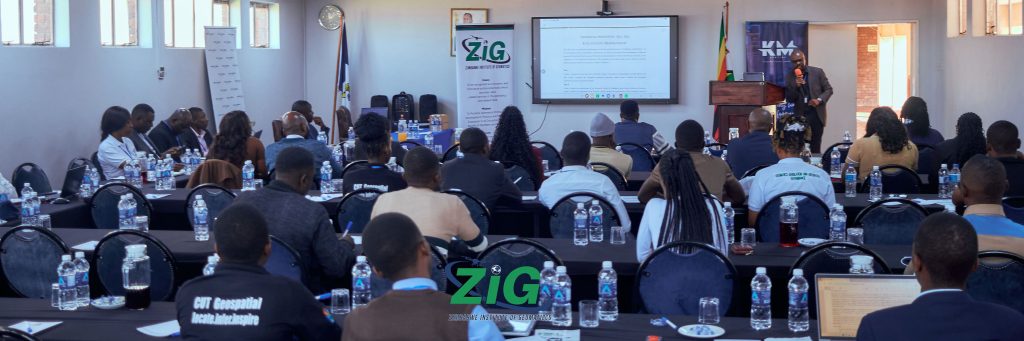
Photo Highlights Day 1 & Day 2

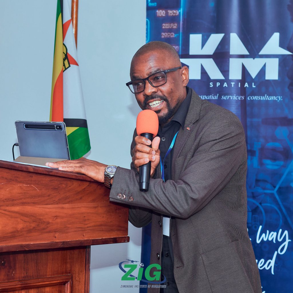
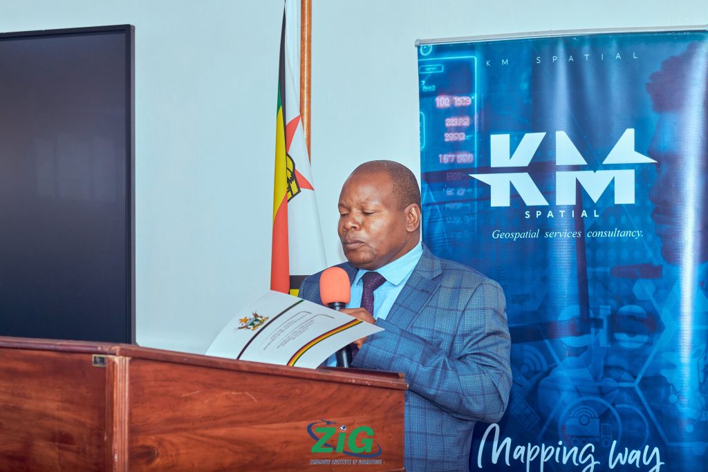
Keynote Address by the Surveyor General

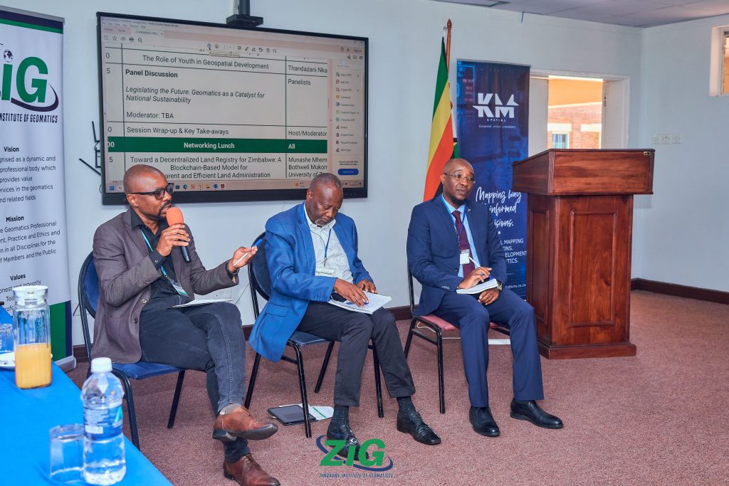
Panel Discussions on Geospatial Legislation


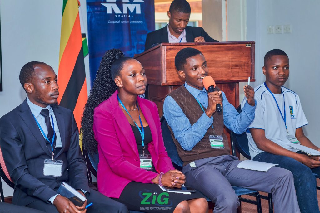
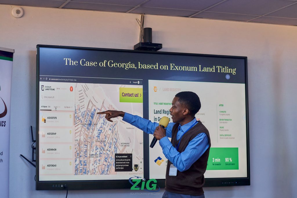
Student Presentations

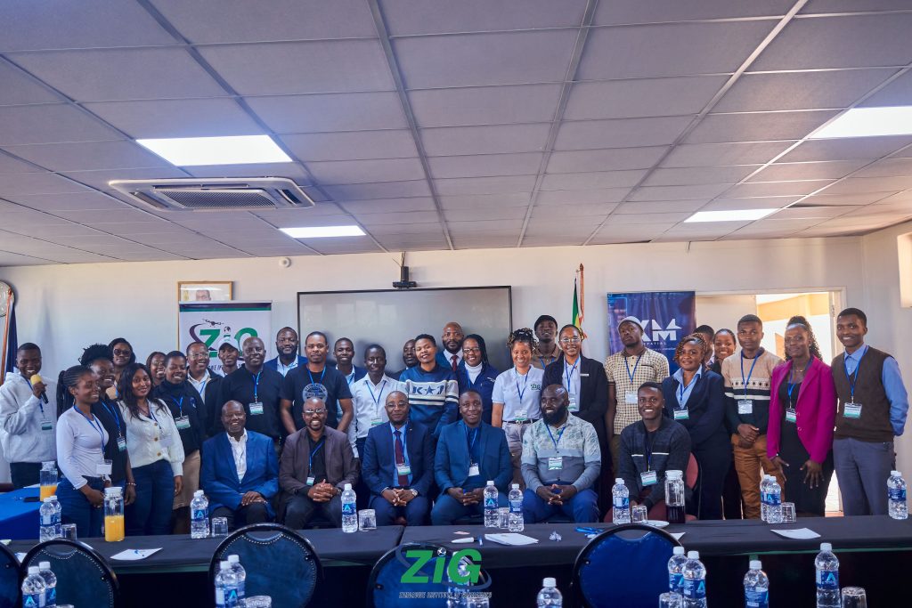
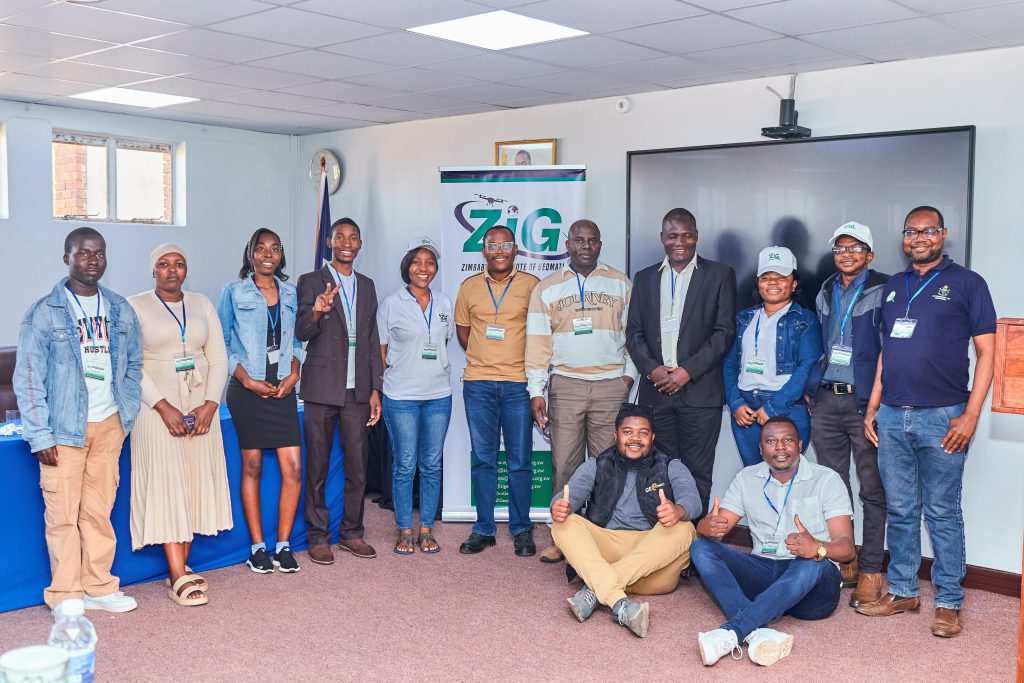
Group Photos – Delegates at the 2025 ZIG Conference & AGM


Looking Ahead
Speaking at the close of the conference, ZIG leadership reiterated the Institute’s commitment to advancing geomatics practice, shaping policy, and empowering the next generation of geospatial professionals to drive Zimbabwe’s Vision 2030 and the UN SDGs.
Appreciation to Sponsors
The Zimbabwe Institute of Geomatics extends its heartfelt appreciation to Scout Aerial Africa, the main sponsor of the 2025 Conference and AGM. Their unwavering support was instrumental in ensuring the success of this landmark event. We would like to appreciate Safe World, KM-Spatial and Creative Geomatics Solutions as well for assisting and coordinating in logistics and planning of the conference.


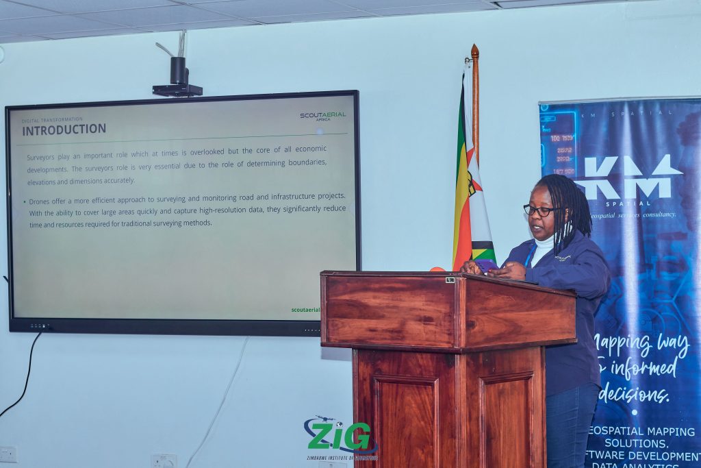
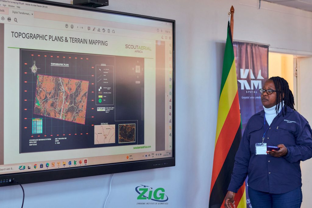
Beyond their sponsorship, Scout Aerial Africa made a powerful knowledge contribution through their presentation on “Digital Transformation in Surveying”. The session sparked meaningful dialogue among delegates, highlighting how drone technologies and digital workflows are reshaping the surveying profession and accelerating the adoption of smarter, data-driven decision-making.
Scout Aerial Africa is a leader in drone-based geospatial solutions, specializing in:
-
Topographic Surveys
-
Volumetric Surveys
-
Geophysical Surveys
-
Remote Pilot License (RPL) Training
By investing in innovation, technology, and capacity building, Scout Aerial Africa is shaping the future of surveying and geospatial sciences in Zimbabwe while empowering professionals and students to embrace cutting-edge drone technologies.
Learn more and connect with Scout Aerial Africa:
-
Website: www.scoutaerialafrica.com

-
ZIG is proud to be associated with Scout Aerial Africa and looks forward to continued collaboration in advancing geospatial excellence and capacity development across Zimbabwe and the region.
Call to Action
The Zimbabwe Institute of Geomatics (ZIG) believes that geospatial knowledge is the backbone of sustainable development. As we look ahead to the 2025–2030 period, we call upon all stakeholders to join hands with us in shaping Zimbabwe’s geospatial future.
To Government and Policymakers: Partner with ZIG in strengthening geomatics legislation, land governance frameworks, and spatial data infrastructure. Strong policy enables efficient planning, investment, and monitoring of development goals.
To Academia and Training Institutions: Let us work together in developing curricula that respond to emerging technologies such as drones, AI, and remote sensing, ensuring our graduates are globally competitive and locally impactful.
To Industry and the Private Sector: Collaborate with ZIG in research, innovation, and pilot projects that showcase how geospatial intelligence can drive sectors such as mining, agriculture, construction, and disaster management.
To Development Partners and NGOs: Incorporate geospatial tools and governance principles in programs aimed at health, environment, food security, and urban planning. ZIG stands ready to provide technical expertise and collaborative platforms.
To Surveyors, GIS Specialists, and Practitioners: Join ZIG, contribute to building a professional, ethical, and innovative geomatics community, and be part of the voice that advocates for recognition and regulation of our profession.
To Students and Young Professionals: The future belongs to you. Engage with ZIG through student memberships, mentorship programs, and innovation challenges to sharpen your skills and position yourself as a geospatial leader of tomorrow.
Together, we can legislate the map, govern with data, and transform Zimbabwe into a geospatially intelligent nation that achieves the Sustainable Development Goals and propels Vision 2030.
For more information, visit: www.zigeomatics.org.zw
Contact:
Zimbabwe Institute of Geomatics
Email: info@zigeomatics.org.zw